Mynd:Yugoslavia 1956-1990.svg

Size of this PNG preview of this SVG file: 450 × 456 pixels. Aðrar upploysnir: 237 × 240 pixels | 474 × 480 pixels | 758 × 768 pixels | 1.011 × 1.024 pixels | 2.021 × 2.048 pixels.
Upprunafíla (SVG fíle, nominelt 450 × 456 pixel, fíle stødd: 475 KB)
Samandráttur


.svg)
.svg)
.svg)
.svg)
.svg)


.svg)
.svg)
.svg)


.png)
.png)


.svg)


.svg)

.svg)


.svg)
.svg)
.svg)
.svg)


.svg)
.png)


.svg)


.svg)
.svg)


.svg)


.svg)


.svg)
.svg)
.svg)
.svg)
.svg)
.svg)
.svg)
_cropped.svg)
.svg)
.svg)
.svg)
.svg)
.svg)
.svg)
.svg)
.svg)
.svg)
.svg)
.svg)
.svg)
.svg)
.svg)
.svg)
.svg)
.svg)
.svg)
.svg)
.svg)
.svg)
.svg)
.svg)
.svg)
.svg)
.svg)
.svg)
.svg)
.svg)
.svg)
.svg)
.svg)
.svg)
.svg)
.svg)
.svg)
.svg)
.svg)
.svg)
.svg)
.svg)
.svg)
.svg)
.svg)
.svg)
| This is a retouched picture, which means that it has been digitally altered from its original version. The original can be viewed here: Blank map of Europe 1956-1990.svg:
|
Lisensur
I, the copyright holder of this work, hereby publish it under the following license:
Henda fíla er gjørd atkomulig undir Creative Commons Navngev-Deil á sama hátt 3.0 Unported loyvinum.
- Tú ert vælkomin til:
- at deila – at avrita, breiða út og senda verkið
- at remiksa – at tillaga ella broyta verkið
- Undir hesum treytum:
- ognan – Tú mást ognarskrivað verkið á ein slíkan hátt sum er útgreinaður av høvundanum ella lisenseigaranum (men ikki á nakran hátt ið kundi bent á at hesin hevur góðkent teg ella tína nýtslu av verkinum).
- deil undir somu treytum – Um tú broytir, evnar til ella byggir víðari á hetta verk, so kanst tú bert útgeva verkið undir somu ella líkandi lisensi sum hesin.
Original upload log
This image is a derivative work of the following images:
- File:Blank_map_of_Europe_1956-1990.svg licensed with Cc-by-sa-3.0
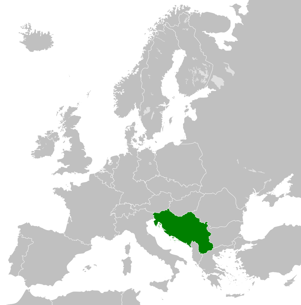
- 2011-10-30T04:43:42Z Alphathon 450x456 (485146 Bytes) == {{int:filedesc}} == {{Information |Description={{en|Blank map of Europe showing national borders as they stood from 1956-1990.}} |Source=*[[:File:Blank_map_of_Europe.svg|]] |Date=2011-10-30 04:42 (UTC) |Author=*[[:File:Bla
| Annotations | This image is annotated: View the annotations at Commons |
Søgan hjá fíluni
Trýst á dato/tíð fyri at síggja fíluna, sum hon sá út tá.
| Dagur/Tíð | Lítil mynd | Dimensjónir | Brúkari | Viðmerking | |
|---|---|---|---|---|---|
| streymur | 26. nov 2011 kl. 01:00 | | 450 × 456 (475 KB) | StalwartUK | == {{int:filedesc}} == {{Information |Description={{en|Map of Socialist Federal Republic of Yugoslavia as it was from 1945-1992. Surrounding countries accurate from 1956-1990.}} |Source=*[[:File:Blank_map_o |
Myndarslóðir
Hesar síður slóða til hesa mynd:
Alheims fílunýtsla
Aðrar wkiir brúka hesa fílu:
- Nýtsla á ar.wikipedia.org
- Nýtsla á arz.wikipedia.org
- Nýtsla á ast.wikipedia.org
- Nýtsla á ast.wiktionary.org
- Nýtsla á azb.wikipedia.org
- Nýtsla á az.wikipedia.org
- Nýtsla á az.wiktionary.org
- Nýtsla á be-tarask.wikipedia.org
- Nýtsla á be.wikipedia.org
- Nýtsla á bg.wikipedia.org
- Nýtsla á bs.wikipedia.org
- Nýtsla á ca.wikipedia.org
- Nýtsla á ce.wikipedia.org
- Nýtsla á cs.wikipedia.org
- Nýtsla á da.wikipedia.org
- Nýtsla á de.wikipedia.org
- Nýtsla á en.wikipedia.org
- Socialist Federal Republic of Yugoslavia
- User:Mr Hall of England/sandbox
- Telephone numbers in Yugoslavia
- User:Falcaorib
- Soviet involvement in regime change
- User:XP6287/sandbox
- Guyana–Yugoslavia relations
- Cyprus–Yugoslavia relations
- Afghanistan–Yugoslavia relations
- Pakistan–Yugoslavia relations
- Canada–Yugoslavia relations
- Malta–Yugoslavia relations
- Germany–Yugoslavia relations
- Nicaragua–Yugoslavia relations
- Brazil–Yugoslavia relations
- Cambodia–Yugoslavia relations
- List of companies of the Socialist Federal Republic of Yugoslavia
- Nýtsla á en.wiktionary.org
- Nýtsla á es.wikipedia.org
- Nýtsla á es.wiktionary.org
- Nýtsla á eu.wikipedia.org
- Nýtsla á fa.wikipedia.org
- Nýtsla á fi.wikipedia.org
- Nýtsla á frr.wikipedia.org
- Nýtsla á fr.wikipedia.org
- Nýtsla á gl.wikipedia.org
Vís meiri globala nýtslu av hesi fílu.