Upprunafíla(SVG fíle, nominelt 1.441 × 935 pixel, fíle stødd: 31 KB)

Henda fíla er frá Wikimedia Commons og kann verða brúka í øðrum verkætlanum. Frágreiðingin á fílu frágreiðingar síðu er víst her niðanfyri.

Frágreiðing
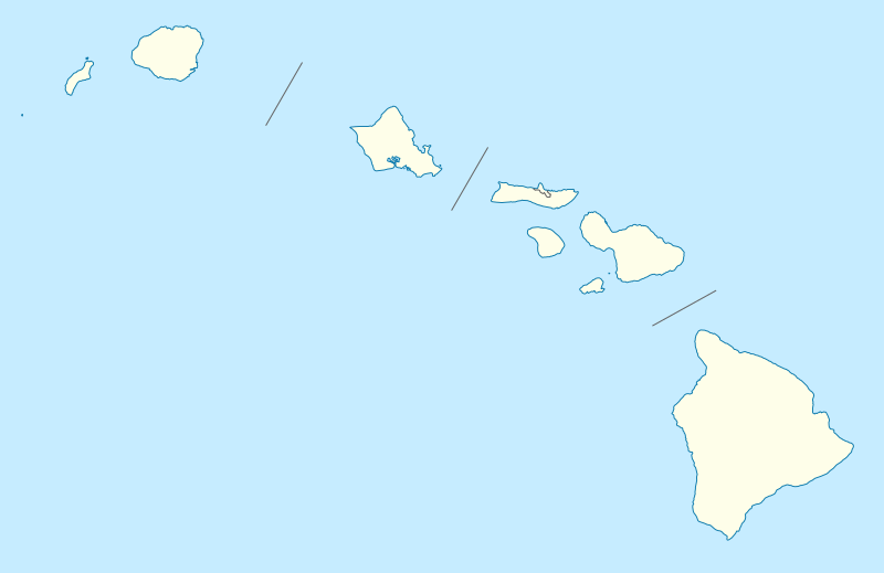
Deutsch: Positionskarte von Hawaii, USA

Quadratische Plattkarte, N-S-Streckung 107 %. Geographische Begrenzung der Karte:

  • N: 22.4° N
  • S: 18.7° N
  • W: 160.7° W
  • O: 154.6° W
English: Location map of Hawaii, USA

Equirectangular projection, N/S stretching 107 %. Geographic limits of the map:

  • N: 22.4° N
  • S: 18.7° N
  • W: 160.7° W
  • E: 154.6° W
Dagur 09-06-2009
Kelda

own work, using

  • United States National Imagery and Mapping Agency data
  • U.S. Geological Survey (USGS) data
Høvundur NordNordWest
Loyvi
(Endurnýtsla av hesi fílu)

I have published this file as author NordNordWest under the "CC-BY-SA-3.0-DE" in Wikipedia. This means that free, commercial usage outside of Wikipedia is permitted under the following licence terms:

Please send me a specimen copy or the URL of the website where the file is used.

Please write an email to nnwest[at]web.de if you

  • need my postal address for sending a specimen copy
  • have further questions about the terms of the licence

PS: In case of refusal of the above terms the author reserves the right to take legal action.

w:en:Creative Commons
ognan deil undir somu treytum
This file is licensed under the Creative Commons Attribution-Share Alike 3.0 Germany license.
Tú ert vælkomin til:
  • at deila – at avrita, breiða út og senda verkið
  • at remiksa – at tillaga ella broyta verkið
Undir hesum treytum:
  • ognan – Tú mást ognarskrivað verkið á ein slíkan hátt sum er útgreinaður av høvundanum ella lisenseigaranum (men ikki á nakran hátt ið kundi bent á at hesin hevur góðkent teg ella tína nýtslu av verkinum).
  • deil undir somu treytum – Um tú broytir, evnar til ella byggir víðari á hetta verk, so kanst tú bert útgeva verkið undir somu ella líkandi lisensi sum hesin.
Other versions
Derivative works of this file:  Starbucks footprint.png
SVG genesis
InfoField
 
The SVG code is valid.
 
This vector image was created with Inkscape, or with something else.
Kartenwerkstatt
This map has been made or improved in the German Kartenwerkstatt (Map Lab). You can propose maps to improve as well.

Captions

Add a one-line explanation of what this file represents

Items portrayed in this file

depicts enskt

Søgan hjá fíluni

Trýst á dato/tíð fyri at síggja fíluna, sum hon sá út tá.

Dagur/TíðLítil myndDimensjónirBrúkariViðmerking
streymur13. jun 2009 kl. 18:36Lítil mynd av versjónini frá 13. jun 2009 kl. 18:361.441 × 935 (31 KB)NordNordWest{{Information |Description= {{de|Positionskarte von Hawaii, USA}} Quadratische Plattkarte, N-S-Streckung 107 %. Geographische Begrenzung der Karte: * N: 22.4° N * S: 18.7° N * W: 160.7° W * O: 154.6° W {{en|Location map of [

Alheims fílunýtsla

Aðrar wkiir brúka hesa fílu:

Vís meiri globala nýtslu av hesi fílu.

Metadáta