Mynd:The Lanes, Brighton - geograph.org.uk - 633351.jpg
Ongin hægri upploysn varð funnin.
The_Lanes,_Brighton_-_geograph.org.uk_-_633351.jpg (640 × 428 pixel, stødd fílu: 105 KB, MIME-slag: image/jpeg)
Samandráttur
| Frágreiðing |
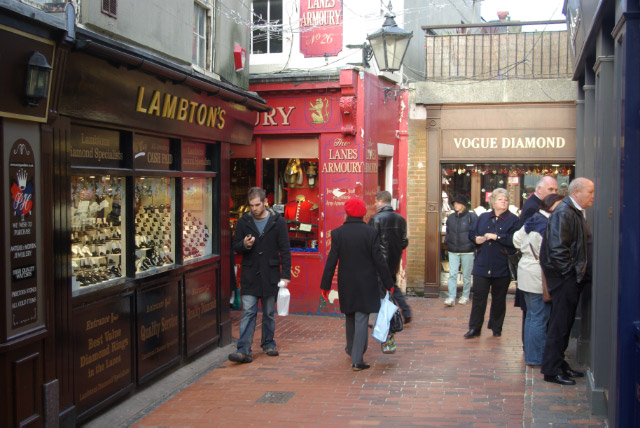
English: The Lanes, Brighton The Lanes, between the seafront and the Royal Pavilion to the west of Old Steine, is the old fishing village area of Brighton. Today it is a tourist attraction occupied by small independent shops, many of them jewellers. |
| Dagur | |
| Kelda | From geograph.org.uk |
| Høvundur | Stephen McKay |
| Ognan (required by the license) | Stephen McKay / The Lanes, Brighton / |
| Camera location | | View this and other nearby images on: OpenStreetMap |
|---|
_heading:0.00&language=fo)
| Object location | | View this and other nearby images on: OpenStreetMap |
|---|
_heading:0.00&language=fo)
Lisensur

|
This image was taken from the Geograph project collection. See this photograph's page on the Geograph website for the photographer's contact details. The copyright on this image is owned by Stephen McKay and is licensed for reuse under the Creative Commons Attribution-ShareAlike 2.0 license.
|
This file is licensed under the Creative Commons Attribution-Share Alike 2.0 Generic license.
Ognan: Stephen McKay
- Tú ert vælkomin til:
- at deila – at avrita, breiða út og senda verkið
- at remiksa – at tillaga ella broyta verkið
- Undir hesum treytum:
- ognan – Tú mást ognarskrivað verkið á ein slíkan hátt sum er útgreinaður av høvundanum ella lisenseigaranum (men ikki á nakran hátt ið kundi bent á at hesin hevur góðkent teg ella tína nýtslu av verkinum).
- deil undir somu treytum – Um tú broytir, evnar til ella byggir víðari á hetta verk, so kanst tú bert útgeva verkið undir somu ella líkandi lisensi sum hesin.
Søgan hjá fíluni
Trýst á dato/tíð fyri at síggja fíluna, sum hon sá út tá.
| Dagur/Tíð | Lítil mynd | Dimensjónir | Brúkari | Viðmerking | |
|---|---|---|---|---|---|
| streymur | 7. feb 2011 kl. 10:37 | | 640 × 428 (105 KB) | GeographBot | == {{int:filedesc}} == {{Information |description={{en|1=The Lanes, Brighton The Lanes, between the seafront and the Royal Pavilion to the west of Old Steine, is the old fishing village area of Brighton. Today it is a tourist attraction occupied by small |
Myndarslóðir
Hesar síður slóða til hesa mynd:
Alheims fílunýtsla
Aðrar wkiir brúka hesa fílu: