Mynd:Qatar adm location map.svg

Upprunafíla (SVG fíle, nominelt 1.039 × 987 pixel, fíle stødd: 60 KB)
Samandráttur
| Frágreiðing |
Deutsch: Positionskarte von Katar
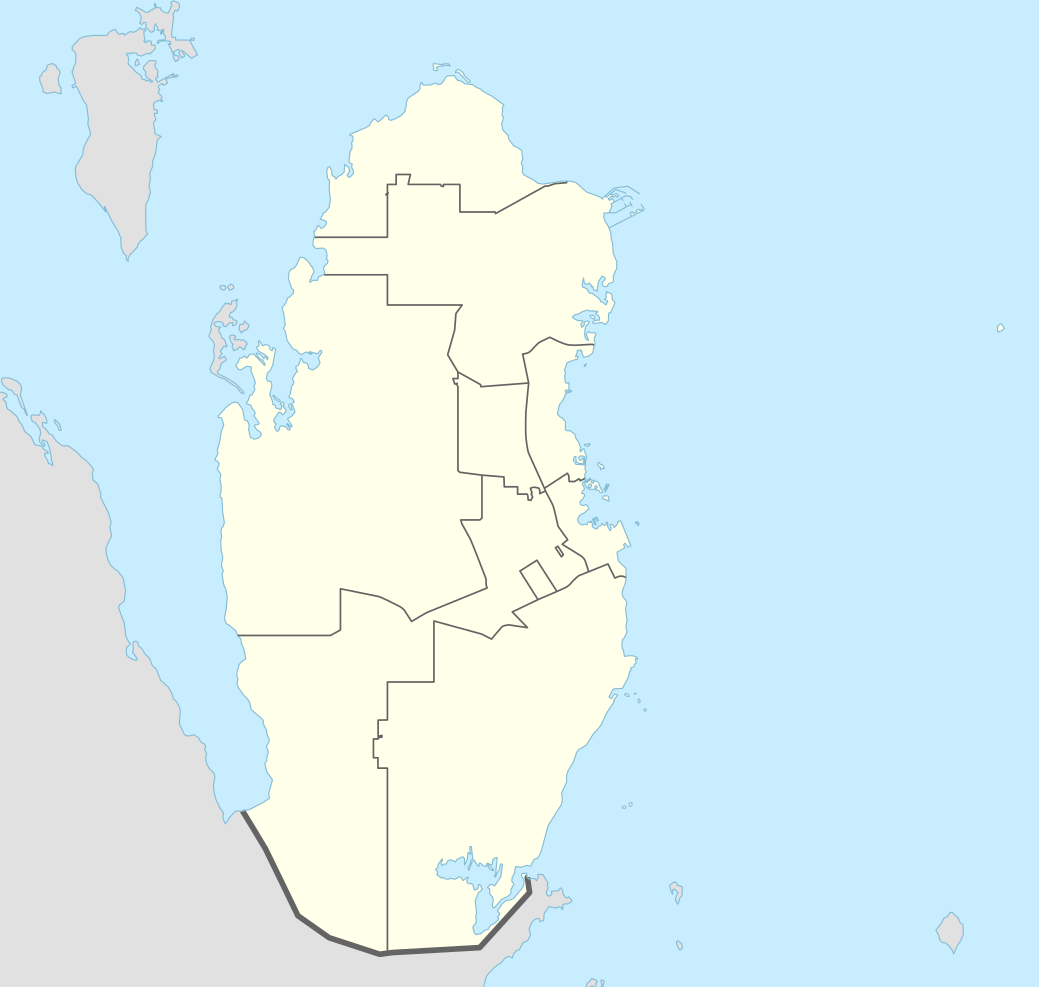
English: Location map of Qatar
|
||||||||||||
| Dagur | |||||||||||||
| Kelda |
Own work using:
|
||||||||||||
| Høvundur | NordNordWest | ||||||||||||

|
This map has been made or improved in the German Kartenwerkstatt (Map Lab). You can propose maps to improve as well.
|
Lisensur
Usage of this file with:

explanatory notes: Legally binding is only the full legalcode. For a free usage I recommend to respect the following licence conditions:
1. Provide my name as given above: NordNordWest,
2. a copy of, or the URI for, the applicable license: https://creativecommons.org/licenses/by-sa/3.0/de/legalcode,
3. the title of the work,
4. in the case of an adaptation, a credit identifying the use of the work in the adaptation.
This license and the rights granted hereunder will terminate automatically upon any breach by you of the terms of this license. Any of the above conditions can be waived if you get permission from the copyright holder. If you have questions or wish differing conditions, please contact me through nnwest or my discussion page ![]() t-online.de
t-online.de
- Tú ert vælkomin til:
- at deila – at avrita, breiða út og senda verkið
- at remiksa – at tillaga ella broyta verkið
- Undir hesum treytum:
- ognan – Tú mást ognarskrivað verkið á ein slíkan hátt sum er útgreinaður av høvundanum ella lisenseigaranum (men ikki á nakran hátt ið kundi bent á at hesin hevur góðkent teg ella tína nýtslu av verkinum).
- deil undir somu treytum – Um tú broytir, evnar til ella byggir víðari á hetta verk, so kanst tú bert útgeva verkið undir somu ella líkandi lisensi sum hesin.

Søgan hjá fíluni
Trýst á dato/tíð fyri at síggja fíluna, sum hon sá út tá.
| Dagur/Tíð | Lítil mynd | Dimensjónir | Brúkari | Viðmerking | |
|---|---|---|---|---|---|
| streymur | 21. apr 2022 kl. 05:16 | | 1.039 × 987 (60 KB) | Spesh531 | November 2021 border changes on the southern shore of Khawr al Udayd |
| 18. okt 2016 kl. 09:38 |  | 1.039 × 987 (60 KB) | NordNordWest | corr | |
| 13. nov 2014 kl. 14:25 |  | 1.039 × 987 (50 KB) | NordNordWest | == {{int:filedesc}} == {{Information |Description= {{de|1=Positionskarte von Katar}} {{en|1=Location map of Qatar}} {{Location map series N |stretching=110 |top=26.3 |bottom=24.4 |left=50.3 |right=52.5 }} |Source={{Own using}} * United States National... |
Myndarslóðir
Hesar síður slóða til hesa mynd:
Alheims fílunýtsla
Aðrar wkiir brúka hesa fílu:
- Nýtsla á af.wikipedia.org
- Nýtsla á an.wikipedia.org
- Nýtsla á ast.wikipedia.org
- Nýtsla á azb.wikipedia.org
- Nýtsla á az.wikipedia.org
- Nýtsla á ban.wikipedia.org
- Nýtsla á bcl.wikipedia.org
- Nýtsla á bn.wikipedia.org
- Nýtsla á br.wikipedia.org
- Nýtsla á bs.wikipedia.org
- Nýtsla á ca.wikipedia.org
- Nýtsla á ckb.wikipedia.org
- Nýtsla á da.wikipedia.org
- Nýtsla á de.wikipedia.org
Vís meiri globala nýtslu av hesi fílu.