Mynd:National-atlas-blank-state-outlines.png
Ongin hægri upploysn varð funnin.
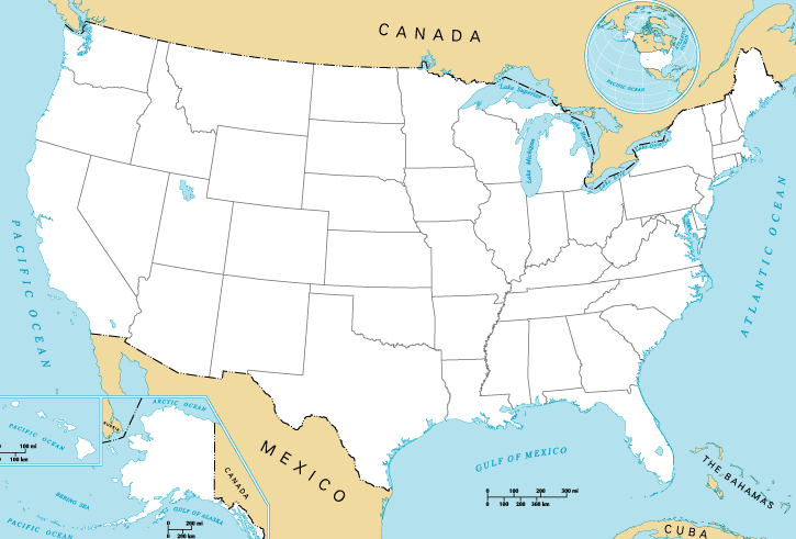
National-atlas-blank-state-outlines.png (725 × 491 pixel, stødd fílu: 34 KB, MIME-slag: image/png)

|
This map image could be re-created using vector graphics as an SVG file. This has several advantages; see Commons:Media for cleanup for more information. If an SVG form of this image is available, please upload it and afterwards replace this template with
{{vector version available|new image name}}.
It is recommended to name the SVG file “National-atlas-blank-state-outlines.svg”—then the template Vector version available (or Vva) does not need the new image name parameter. |
Samandráttur
| Frágreiðing |
English: Map of the United States of America. |
| Kelda | National Atlas of the United States. |
| Høvundur | National Atlas of the United States. |
| Other versions | Derivative works of this file: 13-colonies-present-boundaries.png |
Lisensur
This map was obtained from an edition of the National Atlas of the United States. Like almost all works of the U.S. federal government, works from the National Atlas are in the public domain in the United States.
Online access: NationalAtlas.gov | 1970 print edition: Library of Congress, Perry-Castañeda Library
|
Original upload log
The original description page was here. All following user names refer to en.wikipedia.
- 2004-10-13 21:41 Jengod 758×584× (119202 bytes) {{PD-USGov}}
Søgan hjá fíluni
Trýst á dato/tíð fyri at síggja fíluna, sum hon sá út tá.
| Dagur/Tíð | Lítil mynd | Dimensjónir | Brúkari | Viðmerking | |
|---|---|---|---|---|---|
| streymur | 31. mai 2015 kl. 16:27 | | 725 × 491 (34 KB) | Cmdrjameson | Compressed with pngout. Reduced by 74kB (68% decrease). |
| 20. apr 2013 kl. 00:47 |  | 725 × 491 (109 KB) | Jay8g | cropped | |
| 29. jan 2011 kl. 06:54 |  | 758 × 584 (116 KB) | File Upload Bot (Magnus Manske) | {{BotMoveToCommons|en.wikipedia|year={{subst:CURRENTYEAR}}|month={{subst:CURRENTMONTHNAME}}|day={{subst:CURRENTDAY}}}} {{Information |Description={{en|en:Category:United States maps}} |Source=Transferred from [http://en.wikipedia.org en.wikipedia]; |
Myndarslóðir
Hesar síður slóða til hesa mynd:
Alheims fílunýtsla
Aðrar wkiir brúka hesa fílu:
- Nýtsla á ar.wikipedia.org
- Nýtsla á bg.wikipedia.org
- Nýtsla á da.wikipedia.org
- Nýtsla á de.wikipedia.org
- Nýtsla á en.wikipedia.org
- Nýtsla á fa.wikipedia.org
- Nýtsla á fy.wikipedia.org
- Nýtsla á id.wikipedia.org
- Nýtsla á ko.wikipedia.org
- Nýtsla á lv.wikipedia.org
- Nýtsla á ms.wikipedia.org
- Nýtsla á my.wikipedia.org
- Nýtsla á no.wikipedia.org
- Nýtsla á pl.wikipedia.org
- Nýtsla á ro.wikipedia.org
- Nýtsla á sco.wikipedia.org
- Nýtsla á simple.wikipedia.org
- Nýtsla á sl.wikipedia.org
- Nýtsla á sv.wikipedia.org
- Nýtsla á ta.wikipedia.org
- Nýtsla á ur.wikipedia.org
- Nýtsla á vi.wikipedia.org
- Nýtsla á zh-yue.wikipedia.org