Mynd:Lake Chad 1973.jpg
Stødd av hesi forskoðan: 584 × 600 pixels. Aðrar upploysnir: 234 × 240 pixels | 467 × 480 pixels | 971 × 997 pixels.
Upprunafíla (971 × 997 pixel, stødd fílu: 553 KB, MIME-slag: image/jpeg)
Samandráttur
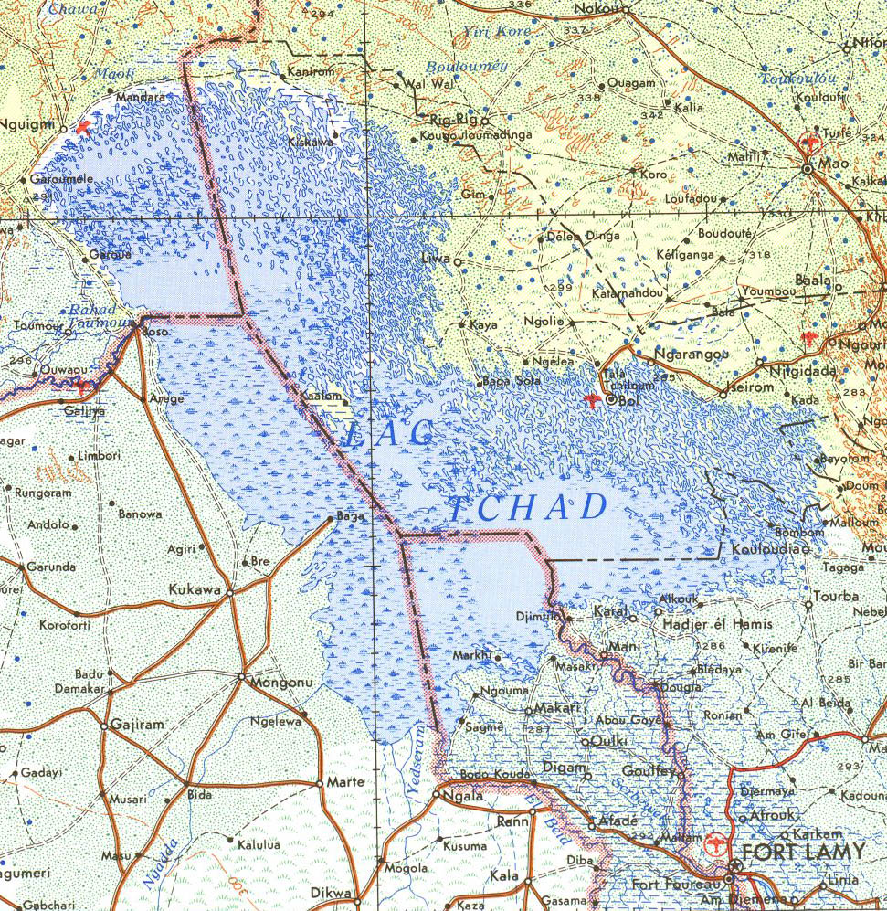
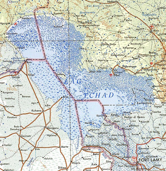
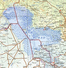
Cropped from public domain US army map from PCL map collection, located here. Specifically, Fort Lamy Sheet 13, Edition 4, DMATC, 1973.
Lisensur
This file is a work of a U.S. Army soldier or employee, taken or made as part of that person's official duties. As a work of the U.S. federal government, it is in the public domain in the United States.
|
 |
Søgan hjá fíluni
Trýst á dato/tíð fyri at síggja fíluna, sum hon sá út tá.
| Dagur/Tíð | Lítil mynd | Dimensjónir | Brúkari | Viðmerking | |
|---|---|---|---|---|---|
| streymur | 19. jul 2007 kl. 12:07 | | 971 × 997 (553 KB) | Roke~commonswiki | Cropped from public domain US army map from PCL map collection, located [http://www.lib.utexas.edu/maps/ams/africa/ here]. Specifically, Fort Lamy Sheet 13, Edition 4, DMATC, 1973. Category:Maps of Chad |
Myndarslóðir
Hesar síður slóða til hesa mynd:
Alheims fílunýtsla
Aðrar wkiir brúka hesa fílu:
- Nýtsla á ar.wikipedia.org
- Nýtsla á bg.wikipedia.org
- Nýtsla á cs.wikipedia.org
- Nýtsla á de.wikipedia.org
- Nýtsla á en.wikipedia.org
- Nýtsla á es.wikipedia.org
- Nýtsla á fa.wikipedia.org
- Nýtsla á frr.wikipedia.org
- Nýtsla á fr.wikipedia.org
- Nýtsla á gl.wikipedia.org
- Nýtsla á ha.wikipedia.org
- Nýtsla á id.wikipedia.org
- Nýtsla á ko.wikipedia.org
- Nýtsla á nn.wikipedia.org
- Nýtsla á pl.wikipedia.org
- Nýtsla á pt.wikipedia.org
- Nýtsla á ru.wikipedia.org
- Nýtsla á ru.wikinews.org
- Nýtsla á sq.wikipedia.org
- Nýtsla á tr.wikipedia.org
- Nýtsla á www.wikidata.org
- Nýtsla á zh.wikipedia.org