Mynd:Hammarlandin kirkko.JPG

Stødd av hesi forskoðan: 800 × 600 pixels. Aðrar upploysnir: 320 × 240 pixels | 640 × 480 pixels | 1.024 × 768 pixels | 1.280 × 960 pixels | 1.600 × 1.200 pixels.
Upprunafíla (1.600 × 1.200 pixel, stødd fílu: 925 KB, MIME-slag: image/jpeg)
Samandráttur
| Frágreiðing |
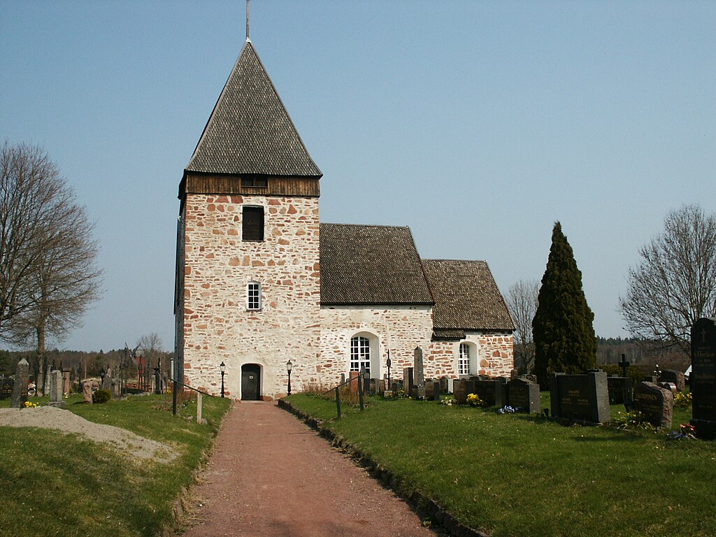
English: Hammarland church seen from the main gate, Åland, Finland, 14th century stone church
Suomi: Hammarlandin kirkko Ahvenanmaalla, näkymä pääportilta katsottuna, kivikirkko v. 1300
Svenska: Hammarland kyrka, Åland, Finland, fråm år 1300 |
| Dagur | |
| Kelda | Egið verk |
| Høvundur | BluePuddle |
| Object location | | View this and other nearby images on: OpenStreetMap |
|---|
Lisensur
| I, the copyright holder of this work, release this work into the public domain. This applies worldwide. In some countries this may not be legally possible; if so: I grant anyone the right to use this work for any purpose, without any conditions, unless such conditions are required by law. |
Søgan hjá fíluni
Trýst á dato/tíð fyri at síggja fíluna, sum hon sá út tá.
| Dagur/Tíð | Lítil mynd | Dimensjónir | Brúkari | Viðmerking | |
|---|---|---|---|---|---|
| streymur | 16. nov 2009 kl. 17:59 | | 1.600 × 1.200 (925 KB) | BluePuddle | {{Information |Description={{en|1=Hammarland church seen from the main gate, Alandia Finland, 14th century stone church}} {{fi|1=Hammarlandin kirkko Ahvenanmaalla, näkymä pääportilta katsottuna, kivikirkko v. 1300}} Hammarland kyrka, Åland, Finland, |
Myndarslóðir
Hesar síður slóða til hesa mynd:
Alheims fílunýtsla
Aðrar wkiir brúka hesa fílu:
- Nýtsla á af.wikipedia.org
- Nýtsla á ceb.wikipedia.org
- Nýtsla á de.wikipedia.org
- Nýtsla á en.wikipedia.org
- Nýtsla á en.wikivoyage.org
- Nýtsla á es.wikipedia.org
- Nýtsla á fi.wikipedia.org
- Nýtsla á fr.wikipedia.org
- Nýtsla á gag.wikipedia.org
- Nýtsla á gl.wikipedia.org
- Nýtsla á lmo.wikipedia.org
- Nýtsla á nl.wikipedia.org
- Nýtsla á no.wikipedia.org
- Nýtsla á pl.wikipedia.org
- Nýtsla á pt.wikipedia.org
- Nýtsla á ro.wikipedia.org
- Nýtsla á ru.wikipedia.org
- Nýtsla á sv.wikipedia.org
- Nýtsla á www.wikidata.org