Mynd:France location map-Regions and departements-2016.svg

Size of this PNG preview of this SVG file: 624 × 600 pixels. Aðrar upploysnir: 250 × 240 pixels | 499 × 480 pixels | 799 × 768 pixels | 1.066 × 1.024 pixels | 2.131 × 2.048 pixels | 2.000 × 1.922 pixels.
Upprunafíla (SVG fíle, nominelt 2.000 × 1.922 pixel, fíle stødd: 551 KB)
Samandráttur
| Frágreiðing |
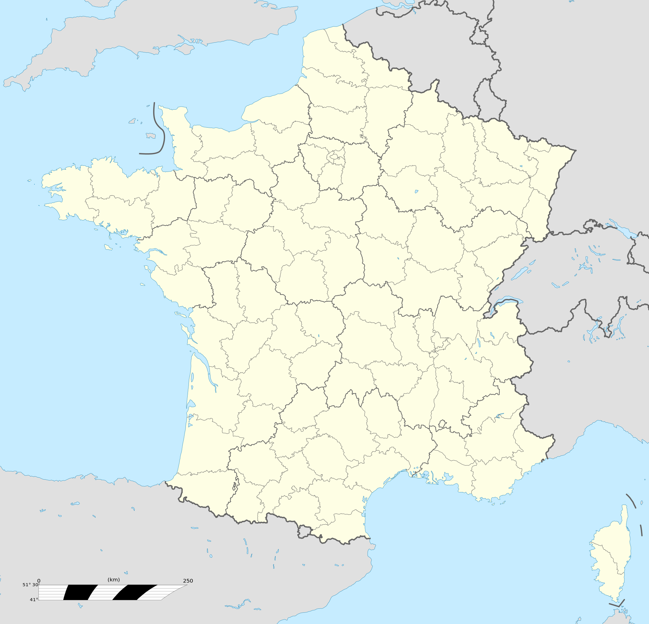
Français : Carte administrative vierge de la France destinée à la géolocalisation, avec régions et départements distingués.
Échelle approximative : 1:3 000 000
English: Blank administrative map of France for geo-location purpose, with regions and departements distinguished.
Approximate scale : 1:3,000,000
Projection équirectangulaire, données WGS84
Limites géographiques de la carte :
|
| Dagur | |
| Kelda |
This file was derived from: France location map-Regions and departements-2015.svg |
| Høvundur | Superbenjamin |
| Other versions |
|
| SVG genesis | This locator map was created with Adobe Illustrator, and with Inkscape. This locator map uses embedded text/digits. |

Lisensur
I, the copyright holder of this work, hereby publish it under the following license:
This file is licensed under the Creative Commons Attribution-Share Alike 4.0 International license.
- Tú ert vælkomin til:
- at deila – at avrita, breiða út og senda verkið
- at remiksa – at tillaga ella broyta verkið
- Undir hesum treytum:
- ognan – Tú mást ognarskrivað verkið á ein slíkan hátt sum er útgreinaður av høvundanum ella lisenseigaranum (men ikki á nakran hátt ið kundi bent á at hesin hevur góðkent teg ella tína nýtslu av verkinum).
- deil undir somu treytum – Um tú broytir, evnar til ella byggir víðari á hetta verk, so kanst tú bert útgeva verkið undir somu ella líkandi lisensi sum hesin.
Søgan hjá fíluni
Trýst á dato/tíð fyri at síggja fíluna, sum hon sá út tá.
| Dagur/Tíð | Lítil mynd | Dimensjónir | Brúkari | Viðmerking | |
|---|---|---|---|---|---|
| streymur | 19. okt 2017 kl. 13:46 | | 2.000 × 1.922 (551 KB) | Sting | No borders over the Lake of Constance |
| 2. jan 2016 kl. 09:11 |  | 2.000 × 1.922 (546 KB) | Superbenjamin | User created page with UploadWizard |
Myndarslóðir
Hesar síður slóða til hesa mynd:
- EM í fótbólti 2016
- Granville
- Mont Saint-Michel
- Pau
- Roubaix
- Saint-Lô
- Fyrimynd:Infobox French commune
- Fyrimynd:Infobox French commune/doc
- Fyrimynd:Infobox historic site
- Fyrimynd:Infobox historic site/doc
- Fyrimynd:Location map+
- Fyrimynd:Location map+/doc
- Module:Location map/data/France
- Module:Location map/data/France/doc
Alheims fílunýtsla
Aðrar wkiir brúka hesa fílu:
- Nýtsla á af.wikipedia.org
- Rugbywêreldbeker 1999
- Mont-Saint-Michel
- Quimperlé
- Dinard
- Camembert (dorp)
- Dives-sur-Mer
- Deauville
- Crécy-en-Ponthieu
- Cannes
- Villeneuve-d'Ascq
- Antibes
- Menton
- Lascaux
- Rennes-le-Château
- Aigues-Mortes
- Cluny
- La Grande-Motte
- Grasse
- Avranches
- Saint-Jean-Cap-Ferrat
- Honfleur
- Monte Carlo
- Villefranche-sur-Saône
- Arles
- Saint-Dié-des-Vosges
- Vannes
- Pontivy
- Cassis
- Neuf-Brisach
- Val Thorens
- Indre
- Neuilly-sur-Seine
- Nanterre
- Millau
- Chamonix-Mont-Blanc
- Gourdon (Alpes-Maritimes)
- Le Faou
- La Roque-Gageac
- Riquewihr
- Locronan
- Eus
- Châteauneuf-du-Pape
- Arcachon
- Saint-Jean-de-Luz
- Apt (Vaucluse)
- Auray
- Nancy
- Rugbywêreldbeker 2007
- Lens, Pas-de-Calais
- Mont Ventoux
Vís meiri globala nýtslu av hesi fílu.