Mynd:Faroe Islands, Eysturoy, Skipanes and Undir Gøtueiði.jpg

Stødd av hesi forskoðan: 800 × 531 pixels. Aðrar upploysnir: 320 × 213 pixels | 640 × 425 pixels | 1.024 × 680 pixels | 1.280 × 850 pixels | 1.930 × 1.282 pixels.
Upprunafíla (1.930 × 1.282 pixel, stødd fílu: 1,07 MB, MIME-slag: image/jpeg)
Samandráttur
| Frágreiðing |
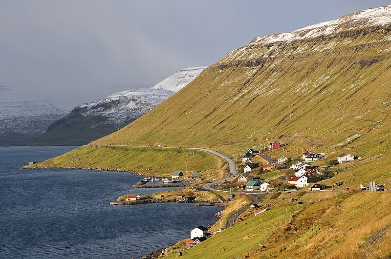
English: The villages of Skipanes and Undir Gøtueiði along Skálafjørður melt together in this picture, taken from the Steðgipláss roundabout, looking to the NW.
Nederlands: De dorpjes Skipanes en Undir Gøtueiði liggen aan de Skálafjørður en smelten in deze foto samen tot één dorp. De foto is genomen vanaf de Steðgipláss rotonde, kijkend naar het NW. |
| Dagur | |
| Kelda | Egið verk |
| Høvundur | Vincent van Zeijst |
•
| Camera location | | View this and other nearby images on: OpenStreetMap |
|---|
Lisensur
I, the copyright holder of this work, hereby publish it under the following license:
Henda fíla er gjørd atkomulig undir Creative Commons Navngev-Deil á sama hátt 3.0 Unported loyvinum.
- Tú ert vælkomin til:
- at deila – at avrita, breiða út og senda verkið
- at remiksa – at tillaga ella broyta verkið
- Undir hesum treytum:
- ognan – Tú mást ognarskrivað verkið á ein slíkan hátt sum er útgreinaður av høvundanum ella lisenseigaranum (men ikki á nakran hátt ið kundi bent á at hesin hevur góðkent teg ella tína nýtslu av verkinum).
- deil undir somu treytum – Um tú broytir, evnar til ella byggir víðari á hetta verk, so kanst tú bert útgeva verkið undir somu ella líkandi lisensi sum hesin.
Søgan hjá fíluni
Trýst á dato/tíð fyri at síggja fíluna, sum hon sá út tá.
| Dagur/Tíð | Lítil mynd | Dimensjónir | Brúkari | Viðmerking | |
|---|---|---|---|---|---|
| streymur | 28. mar 2011 kl. 20:32 | | 1.930 × 1.282 (1,07 MB) | Loranchet | {{Information |Description ={{en|1=The villages of Skipanes and Undir Gøtueiði along Skálafjørður melt together in this picture, taken from the Steðgipláss roundabout, looking to the NW.}} {{nl|1=De dorpjes Skipanes en Undir Gøtueiði liggen aa |
Myndarslóðir
Hesar síður slóða til hesa mynd:
Alheims fílunýtsla
Aðrar wkiir brúka hesa fílu:
- Nýtsla á arz.wikipedia.org
- Nýtsla á ca.wikipedia.org
- Nýtsla á da.wikipedia.org
- Nýtsla á de.wikipedia.org
- Nýtsla á en.wikipedia.org
- Nýtsla á es.wikipedia.org
- Nýtsla á et.wikipedia.org
- Nýtsla á fa.wikipedia.org
- Nýtsla á fr.wikivoyage.org
- Nýtsla á hu.wikipedia.org
- Nýtsla á it.wikipedia.org
- Nýtsla á lt.wikipedia.org
- Nýtsla á nl.wikipedia.org
- Nýtsla á no.wikipedia.org
- Nýtsla á pt.wikipedia.org
- Nýtsla á ro.wikipedia.org
- Nýtsla á sv.wikipedia.org
- Nýtsla á www.wikidata.org
- Nýtsla á zh.wikipedia.org