Mynd:Carte du Québec au sein du Canada.svg

Size of this PNG preview of this SVG file: 707 × 600 pixels. Aðrar upploysnir: 283 × 240 pixels | 566 × 480 pixels | 905 × 768 pixels | 1.207 × 1.024 pixels | 2.414 × 2.048 pixels | 1.083 × 919 pixels.
Upprunafíla (SVG fíle, nominelt 1.083 × 919 pixel, fíle stødd: 80 KB)
Samandráttur
| Frágreiðing | |
| Dagur | (UTC) |
| Kelda |
Egið verk. Source :
|
| Høvundur | Sémhur (talk) |
| Other versions |
Derivative works of this file: |
| SVG genesis | |
| Ognan (required by the license) | © Sémhur / Wikimedia Commons / |
.svg)
| Camera location | | View this and other nearby images on: OpenStreetMap |
|---|
Lisensur
I, the copyright holder of this work, hereby publish it under the following licenses:
| Copyleft: This work of art is free; you can redistribute it and/or modify it according to terms of the Free Art License. You will find a specimen of this license on the Copyleft Attitude site as well as on other sites. |
This file is licensed under the Creative Commons Attribution-Share Alike 4.0 International, 3.0 Unported, 2.5 Generic, 2.0 Generic and 1.0 Generic license.
- Tú ert vælkomin til:
- at deila – at avrita, breiða út og senda verkið
- at remiksa – at tillaga ella broyta verkið
- Undir hesum treytum:
- ognan – Tú mást ognarskrivað verkið á ein slíkan hátt sum er útgreinaður av høvundanum ella lisenseigaranum (men ikki á nakran hátt ið kundi bent á at hesin hevur góðkent teg ella tína nýtslu av verkinum).
- deil undir somu treytum – Um tú broytir, evnar til ella byggir víðari á hetta verk, so kanst tú bert útgeva verkið undir somu ella líkandi lisensi sum hesin.
Tú kanst velja tann lisens ið tú ynskir.
Søgan hjá fíluni
Trýst á dato/tíð fyri at síggja fíluna, sum hon sá út tá.
| Dagur/Tíð | Lítil mynd | Dimensjónir | Brúkari | Viðmerking | |
|---|---|---|---|---|---|
| streymur | 7. des 2014 kl. 17:09 | | 1.083 × 919 (80 KB) | Sémhur | Valid SVG |
| 8. des 2011 kl. 14:56 |  | 1.083 × 919 (80 KB) | Riba | Minor corrections of colors. | |
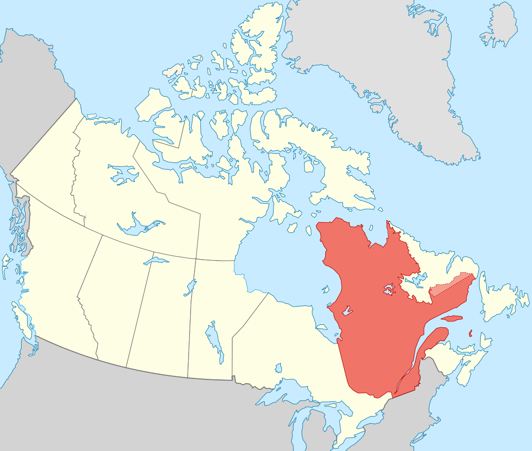
| 27. sep 2011 kl. 19:51 |  | 1.083 × 919 (75 KB) | Sémhur | == {{int:filedesc}} == {{Information |Description={{Multilingual description |en= Blank map showing en:Québec in Canada, in red, with the disputed area between Quebec and Labrador, in pink. |fr= Carte montrant le fr:Québec au sein du Canada, |
Myndarslóðir
Hesar síður slóða til hesa mynd:
Alheims fílunýtsla
Aðrar wkiir brúka hesa fílu:
- Nýtsla á af.wikipedia.org
- Nýtsla á ang.wikipedia.org
- Nýtsla á arc.wikipedia.org
- Nýtsla á bat-smg.wikipedia.org
- Nýtsla á br.wikipedia.org
- Nýtsla á co.wikipedia.org
- Nýtsla á cr.wikipedia.org
- Nýtsla á el.wikipedia.org
- Nýtsla á el.wikivoyage.org
- Nýtsla á eo.wikipedia.org
- Nýtsla á eo.wikinews.org
- Nýtsla á es.wikipedia.org
- Nýtsla á et.wikipedia.org
- Nýtsla á fiu-vro.wikipedia.org
- Nýtsla á fr.wikipedia.org
- Nýtsla á gag.wikipedia.org
- Nýtsla á gl.wikipedia.org
- Nýtsla á gv.wikipedia.org
- Nýtsla á hak.wikipedia.org
- Nýtsla á ha.wikipedia.org
- Nýtsla á hy.wikipedia.org
- Nýtsla á incubator.wikimedia.org
- Nýtsla á it.wikivoyage.org
- Nýtsla á ja.wikipedia.org
- Nýtsla á ka.wikipedia.org
- Nýtsla á kw.wikipedia.org
- Nýtsla á lb.wikipedia.org
- Nýtsla á lv.wikipedia.org
- Nýtsla á mi.wikipedia.org
- Nýtsla á nds-nl.wikipedia.org
- Nýtsla á no.wikipedia.org
- Nýtsla á nrm.wikipedia.org
- Nýtsla á pap.wikipedia.org
- Nýtsla á pa.wikipedia.org
- Nýtsla á pcd.wikipedia.org
- Nýtsla á pl.wikipedia.org
- Nýtsla á pt.wikipedia.org
- Nýtsla á qu.wikipedia.org
- Nýtsla á ro.wikipedia.org
- Nýtsla á ru.wiktionary.org
- Nýtsla á sco.wikipedia.org
- Nýtsla á sl.wikipedia.org
- Nýtsla á sr.wikipedia.org
Vís meiri globala nýtslu av hesi fílu.