Mynd:Basse-Normandie region location map.svg

Size of this PNG preview of this SVG file: 740 × 600 pixels. Aðrar upploysnir: 296 × 240 pixels | 592 × 480 pixels | 948 × 768 pixels | 1.264 × 1.024 pixels | 2.527 × 2.048 pixels | 1.414 × 1.146 pixels.
Upprunafíla (SVG fíle, nominelt 1.414 × 1.146 pixel, fíle stødd: 591 KB)
Samandráttur
| Camera location | | View this and other nearby images on: OpenStreetMap |
|---|
| Frágreiðing |
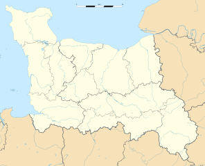
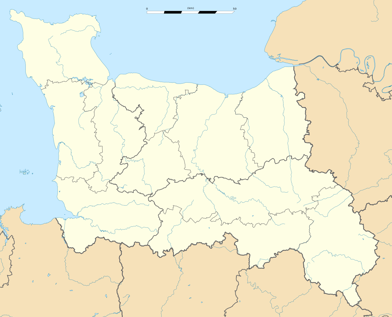
English: Blank administrative map of the region of Lower Normandy, France, for geo-location purpose, with distinct boundaries for regions, departments and arrondissements.
Français : Carte administrative vierge de la région de Basse-Normandie, France, destinée à la géolocalisation, avec limite distincte des régions, départements et arrondissements. Estimated scale: 1:400,000 (precision: 100 m)
Geographic limits of the map:
|
||
| Dagur | |||
| Kelda |
Egið verk
|
||
| Høvundur | Eric Gaba (Sting - fr:Sting) | ||
| Loyvi (Endurnýtsla av hesi fílu) |
|
||
| Other versions |
|

Lisensur
I, the copyright holder of this work, hereby publish it under the following licenses:
Henda fíla er gjørd atkomulig undir Creative Commons Navngev-Deil á sama hátt 3.0 Unported loyvinum.
- Tú ert vælkomin til:
- at deila – at avrita, breiða út og senda verkið
- at remiksa – at tillaga ella broyta verkið
- Undir hesum treytum:
- ognan – Tú mást ognarskrivað verkið á ein slíkan hátt sum er útgreinaður av høvundanum ella lisenseigaranum (men ikki á nakran hátt ið kundi bent á at hesin hevur góðkent teg ella tína nýtslu av verkinum).
- deil undir somu treytum – Um tú broytir, evnar til ella byggir víðari á hetta verk, so kanst tú bert útgeva verkið undir somu ella líkandi lisensi sum hesin.

|
Loyvi verður givi at avrita, bera út og/ella broyta hetta skjal undir treytunum hjá GNU Free Documentation License, versión 1.2 ella einhvør seinni versjón ið er útgivin av Free Software Foundation; uttan nakað óbroytiligt brot, uttan forsíðutekst og uttan baksíðutekst. Eitt avrit av loyvinum er tikið við í brotinum ið nevnist GNU Free Documentation License. |
Tú kanst velja tann lisens ið tú ynskir.
Søgan hjá fíluni
Trýst á dato/tíð fyri at síggja fíluna, sum hon sá út tá.
| Dagur/Tíð | Lítil mynd | Dimensjónir | Brúkari | Viðmerking | |
|---|---|---|---|---|---|
| streymur | 28. sep 2015 kl. 02:04 | | 1.414 × 1.146 (591 KB) | Iowajason | Edited two local file path references out of the SVG code. These were causing problems when trans-wiki-ing. All licenses and rights remain with the previous author. |
| 17. jan 2010 kl. 00:58 |  | 1.414 × 1.146 (591 KB) | Sting | == {{int:filedesc}} == {{Location|48|57|00|N|00|28|30|W|scale:500000}} <br/> {{Information |Description={{en|Blank administrative map of the region of Lower Normandy, France, for geo-location purpose, with distinct boundaries for re |
Myndarslóðir
Hesar síður slóða til hesa mynd:
Alheims fílunýtsla
Aðrar wkiir brúka hesa fílu:
- Nýtsla á ar.wikipedia.org
- Nýtsla á bg.wikipedia.org
- Nýtsla á ca.wikipedia.org
- Nýtsla á ceb.wikipedia.org
- Nýtsla á ce.wikipedia.org
- Nýtsla á cs.wikipedia.org
- Nýtsla á de.wikipedia.org
- Nýtsla á el.wikipedia.org
- Nýtsla á en.wikipedia.org
- Nýtsla á eo.wikipedia.org
- Nýtsla á es.wikipedia.org
- Nýtsla á fa.wikipedia.org
- Nýtsla á fr.wikipedia.org
- Abbaye de Lonlay
- Abbaye aux Hommes
- Montsecret
- Château de Vendeuvre
- Abbaye d'Almenêches
- Université de Caen-Normandie
- Stade Michel-d'Ornano
- Église Notre-Dame de Vire
- Hippodrome du vieux Château
- Hippodrome de la Trésorerie
- Hippodrome Robert-Auvray
- Hippodrome d'Alençon
- Hippodrome de Deauville-Clairefontaine
- École d'ingénieurs de l'université de Caen (ESIX Normandie)
- Stade Maurice-Postaire
- Gare de Berjou
- Gare de Thury-Harcourt
- Dépôt-musée de Pont-Érambourg
- Gare de Condé-sur-Noireau
- Gare de Pont-Érambourg
- Hippodrome du Martinet
- Stade Louis-Villemer
- Gare des Loges-Saulces
- Campus 4 de Caen
Vís meiri globala nýtslu av hesi fílu.