Mynd:Algiers location.svg

Size of this PNG preview of this SVG file: 429 × 425 pixels. Aðrar upploysnir: 242 × 240 pixels | 485 × 480 pixels | 775 × 768 pixels | 1.034 × 1.024 pixels | 2.067 × 2.048 pixels.
Upprunafíla (SVG fíle, nominelt 429 × 425 pixel, fíle stødd: 9 KB)
| By: |
This W3C-unspecified vector image was created with Inkscape .
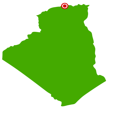
| Frágreiðing | Vectorized map of Algeria with city locator dot | ||
| Dagur | (UTC) | ||
| Kelda | Egið verk | ||
| Høvundur | User:Escondites | ||
| Loyvi (Endurnýtsla av hesi fílu) |
|
Søgan hjá fíluni
Trýst á dato/tíð fyri at síggja fíluna, sum hon sá út tá.
| Dagur/Tíð | Lítil mynd | Dimensjónir | Brúkari | Viðmerking | |
|---|---|---|---|---|---|
| streymur | 11. jan 2007 kl. 11:18 | | 429 × 425 (9 KB) | Escondites | {{User:Escondites/by}} {{Template:Inkscape}} <br> {{Information| |Description=Vectorized map of Algeria with city locator dot |Source=Myself |Date=20:50, 3 January 2007 (UTC) |Author= User:Escondites |Permission={{PD-self}} |other_versions= } |
Myndarslóðir
Hesar síður slóða til hesa mynd:
Alheims fílunýtsla
Aðrar wkiir brúka hesa fílu:
- Nýtsla á af.wikipedia.org
- Nýtsla á ceb.wikipedia.org
- Nýtsla á cs.wikipedia.org
- Nýtsla á da.wikipedia.org
- Nýtsla á de.wikinews.org
- Nýtsla á en.wikipedia.org
- Nýtsla á en.wikinews.org
- Nýtsla á hif.wikipedia.org
- Nýtsla á io.wikipedia.org
- Nýtsla á jv.wikipedia.org
- Nýtsla á mni.wikipedia.org
- Nýtsla á oc.wikipedia.org
- Nýtsla á pt.wikipedia.org
- Nýtsla á simple.wikipedia.org
- Nýtsla á su.wikipedia.org
- Nýtsla á wo.wikipedia.org
- Nýtsla á yi.wikipedia.org
- Nýtsla á zh-yue.wikipedia.org
- Nýtsla á zh.wikipedia.org