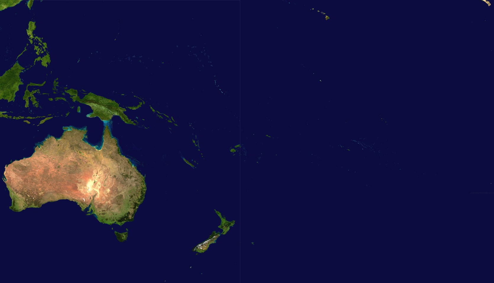
Mynd:Oceania satellite.jpg
Stødd av hesi forskoðan: 800 × 458 pixels. Aðrar upploysnir: 320 × 183 pixels | 640 × 367 pixels | 1.024 × 587 pixels | 1.670 × 957 pixels.
Upprunafíla (1.670 × 957 pixel, stødd fílu: 111 KB, MIME-slag: image/jpeg)
source: http://visibleearth.nasa.gov/images/2433/land_shallow_topo_21600.tif archive copy at the Wayback Machine
| This file is in the public domain in the United States because it was solely created by NASA. NASA copyright policy states that "NASA material is not protected by copyright unless noted". (See Template:PD-USGov, NASA copyright policy page or JPL Image Use Policy.) | ||
 |
Warnings:
|
Søgan hjá fíluni
Trýst á dato/tíð fyri at síggja fíluna, sum hon sá út tá.
| Dagur/Tíð | Lítil mynd | Dimensjónir | Brúkari | Viðmerking | |
|---|---|---|---|---|---|
| streymur | 14. jun 2023 kl. 18:54 | | 1.670 × 957 (111 KB) | Treetoes023 | Didn't work the first time so I'm trying again. |
| 14. jun 2023 kl. 18:46 |  | 1.664 × 961 (111 KB) | Treetoes023 | Zoomed in image to remove unnecessary areas outside of Oceania. | |
| 19. aug 2005 kl. 08:05 |  | 2.349 × 1.155 (755 KB) | っ | source: http://visibleearth.nasa.gov/images/2433/land_shallow_topo_21600.tif {{PD-USGov-NASA}} Category:Maps of Oceania Oceania |
Myndarslóðir
Hesar síður slóða til hesa mynd:
Alheims fílunýtsla
Aðrar wkiir brúka hesa fílu:
- Nýtsla á af.wikipedia.org
- Nýtsla á ar.wikipedia.org
- Nýtsla á ar.wikinews.org
- Nýtsla á arz.wikipedia.org
- Nýtsla á ast.wikipedia.org
- Nýtsla á ba.wikipedia.org
- Nýtsla á ca.wikipedia.org
- Nýtsla á cdo.wikipedia.org
- Nýtsla á co.wikipedia.org
- Nýtsla á crh.wikipedia.org
- Nýtsla á cs.wikipedia.org
- Nýtsla á cy.wikipedia.org
- Nýtsla á de.wikipedia.org
- Nýtsla á el.wikipedia.org
- Nýtsla á en.wikipedia.org
- Nýtsla á en.wikivoyage.org
- Nýtsla á eo.wikipedia.org
- Nýtsla á es.wikipedia.org
- Nýtsla á es.wikivoyage.org
- Nýtsla á et.wikipedia.org
- Nýtsla á fiu-vro.wikipedia.org
- Nýtsla á fi.wikipedia.org
- Nýtsla á fr.wikipedia.org
Vís meiri globala nýtslu av hesi fílu.