Mynd:Italy location map.svg

Size of this PNG preview of this SVG file: 477 × 600 pixels. Aðrar upploysnir: 191 × 240 pixels | 382 × 480 pixels | 611 × 768 pixels | 814 × 1.024 pixels | 1.629 × 2.048 pixels | 1.030 × 1.295 pixels.
Upprunafíla (SVG fíle, nominelt 1.030 × 1.295 pixel, fíle stødd: 743 KB)
Samandráttur
| Frágreiðing |
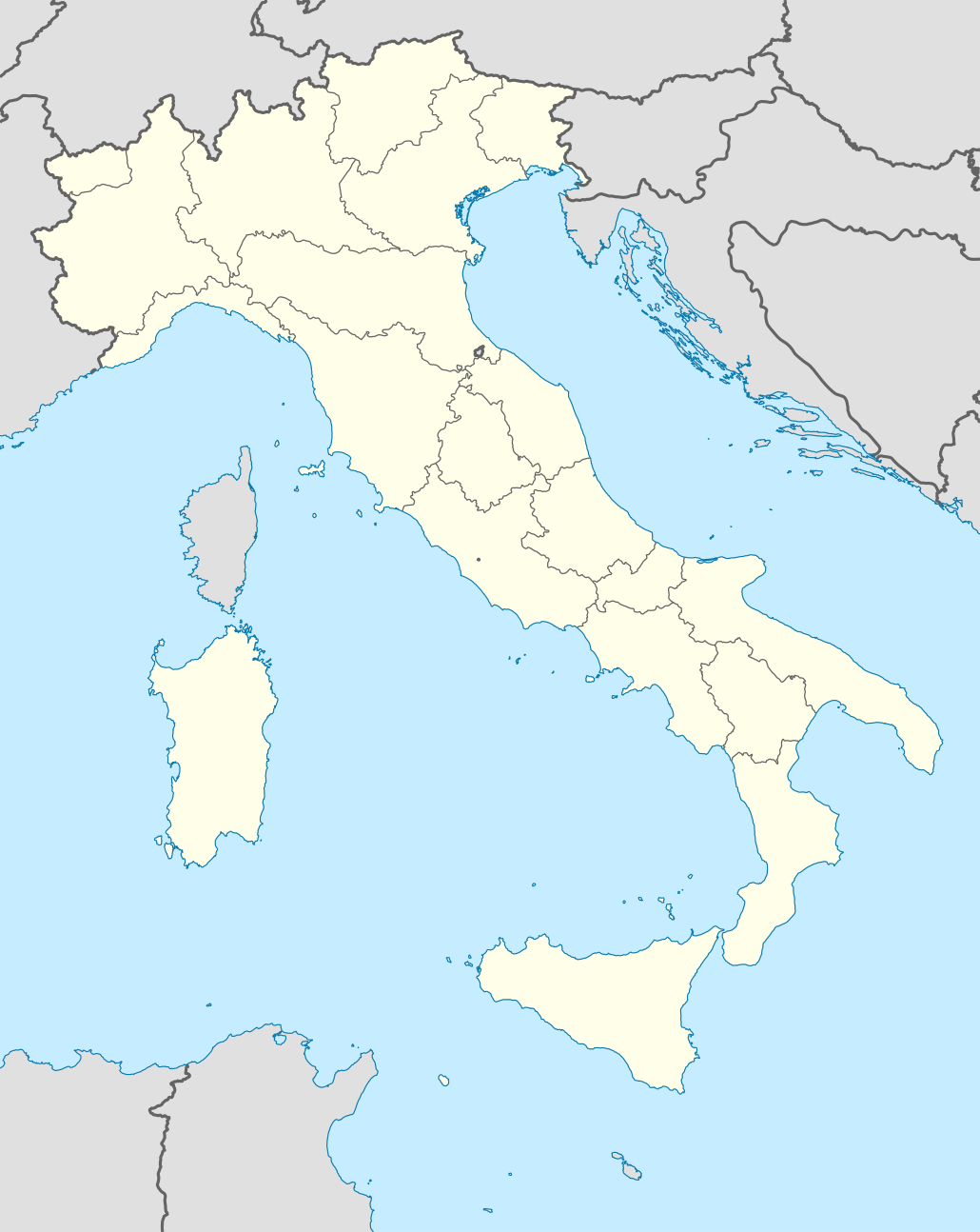
Quadratische Plattkarte, N-S-Streckung 132,898 %. Geographische Begrenzung der Karte:
Equirectangular projection, N/S stretching 132,898 %. Geographic limits of the map:
Proiezione equirettangolare, allargamento N/S 132,898 %. Limiti geografici della mappa:
|
||
| Dagur | 06-07-2008 | ||
| Kelda | own work, using United States National Imagery and Mapping Agency data | ||
| Høvundur | NordNordWest | ||
| Other versions |
Derivative works of this file:
|
||
| SVG genesis |
|


.png)
.svg)
Lisensur
I, the copyright holder of this work, hereby publish it under the following licenses:

|
Loyvi verður givi at avrita, bera út og/ella broyta hetta skjal undir treytunum hjá GNU Free Documentation License, versión 1.2 ella einhvør seinni versjón ið er útgivin av Free Software Foundation; uttan nakað óbroytiligt brot, uttan forsíðutekst og uttan baksíðutekst. Eitt avrit av loyvinum er tikið við í brotinum ið nevnist GNU Free Documentation License. |
Henda fíla er gjørd atkomulig undir Creative Commons Navngev-Deil á sama hátt 3.0 Unported loyvinum.
- Tú ert vælkomin til:
- at deila – at avrita, breiða út og senda verkið
- at remiksa – at tillaga ella broyta verkið
- Undir hesum treytum:
- ognan – Tú mást ognarskrivað verkið á ein slíkan hátt sum er útgreinaður av høvundanum ella lisenseigaranum (men ikki á nakran hátt ið kundi bent á at hesin hevur góðkent teg ella tína nýtslu av verkinum).
- deil undir somu treytum – Um tú broytir, evnar til ella byggir víðari á hetta verk, so kanst tú bert útgeva verkið undir somu ella líkandi lisensi sum hesin.
Tú kanst velja tann lisens ið tú ynskir.
Søgan hjá fíluni
Trýst á dato/tíð fyri at síggja fíluna, sum hon sá út tá.
| Dagur/Tíð | Lítil mynd | Dimensjónir | Brúkari | Viðmerking | |
|---|---|---|---|---|---|
| streymur | 19. jun 2021 kl. 08:46 | | 1.030 × 1.295 (743 KB) | NordNordWest | upd Marche/Emilia Romagna |
| 11. sep 2010 kl. 06:42 |  | 1.034 × 1.299 (1,42 MB) | Citypeek | Made one layer of the entire picture. Better for adding new stuff. | |
| 22. aug 2009 kl. 09:58 |  | 1.034 × 1.299 (1,4 MB) | Actormusicus | updating borders after important variation (http://www.gazzettaufficiale.it/guridb/dispatcher?service=1&datagu=2009-08-14&task=dettaglio&numgu=188&redaz=009G0127&tmstp=1250276942469) | |
| 6. mai 2009 kl. 12:38 |  | 1.034 × 1.299 (1.012 KB) | NordNordWest | corr | |
| 12. mar 2009 kl. 18:27 |  | 1.032 × 1.267 (1.009 KB) | NordNordWest | corr | |
| 6. jul 2008 kl. 16:30 |  | 1.032 × 1.267 (1.010 KB) | NordNordWest | {{Information |Description= {{de|Positionskarte von Italien}} Quadratische Plattkarte, N-S-Streckung 130 %. Geographische Begrenzung der Karte: * N: 47.4° N * S: 35.3° N * W: 6.2° O * O: 19.0° O {{en|Location map of Italy |
Myndarslóðir
Hesar síður slóða til hesa mynd:
Alheims fílunýtsla
Aðrar wkiir brúka hesa fílu:
- Nýtsla á ab.wikipedia.org
- Nýtsla á af.wikipedia.org
- Nýtsla á als.wikipedia.org
- Rom
- Palermo
- Mailand
- Pisa
- Alagna Valsesia
- Florenz
- Parma
- Neapel
- Issime
- Rimella
- Formazza
- Macugnaga
- Rima San Giuseppe
- Alatri
- Ancona
- Lucera
- Vorlage:Positionskarte Italien
- Ravenna
- Genua
- Carcoforo
- Gaby (Aostatal)
- Predore
- Benutzer:Holder/Test Italien
- Syrakus
- Siligo
- Bari
- Venedig
- Salerno
- Orvieto
- Bolsena
- Bologna
- Tarquinia
- Allein (Aostatal)
- Antey-Saint-André
- Aosta
Vís meiri globala nýtslu av hesi fílu.